The Appalachian Trail is a 2,181-mile long public footpath. Conceived in 1921 and completed in 1937, private citizens built the trail and thousands volunteer each year to help maintain it. From Maine’s Mount Katahdin to Georgia’s Springer Mountain, it traverses the wild, scenic, wooded, pastoral and culturally resonant lands of 14 states in the eastern U.S.
The A.T. (as it is commonly known) is a hiking trail, enjoyed by an estimated 4 million people each year. It is within a day’s drive of two-thirds of the U.S. population. People of all ages and abilities enjoy short walks, day hikes, and long-distance backpacking journeys. It offers a variety of opportunities for viewing spectacular scenery, for exploring, for adventure, for exercise, for nature study, and for renewal. (Source: http://www.nps.gov/appa/index.htm)
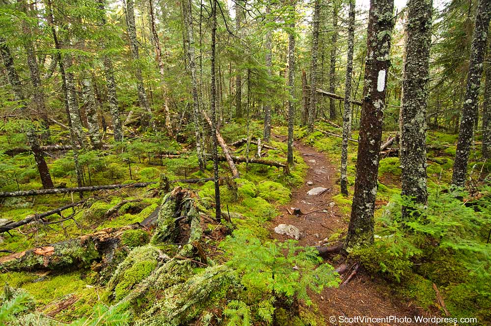
Many don’t realize that the A.T. is a US National Park, with the official moniker of “Appalachian National Scenic Trail.” In Maine, the trail covers 276 miles. Here is just a very small view of some of the trail that traverses through Baxter State Park or can be seen from very short side excursion trails. Click on any photo for a larger image…
- Mushrooms growing on the side of the Appalachian Trail
References for more information:
– Maine Appalachian Trail Club: http://www.matc.org/
– Official US Government Web Site: http://www.nps.gov/appa/index.htm
– Appalachian Trail Conservancy: http://www.appalachiantrail.org/home
– Baxter State Park: http://www.baxterstateparkauthority.com/

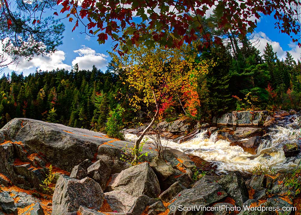
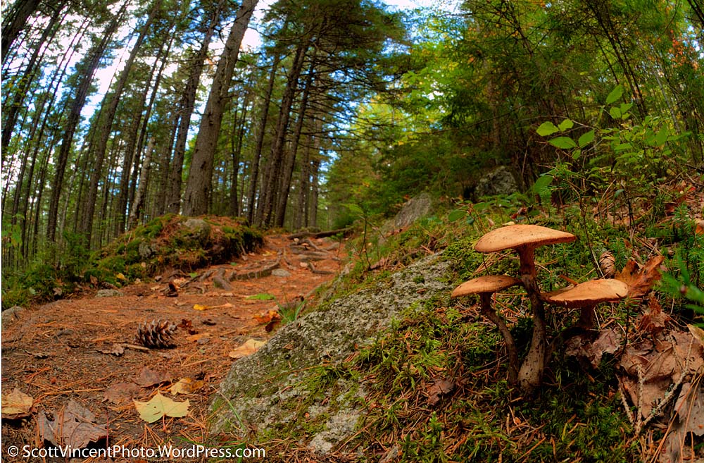
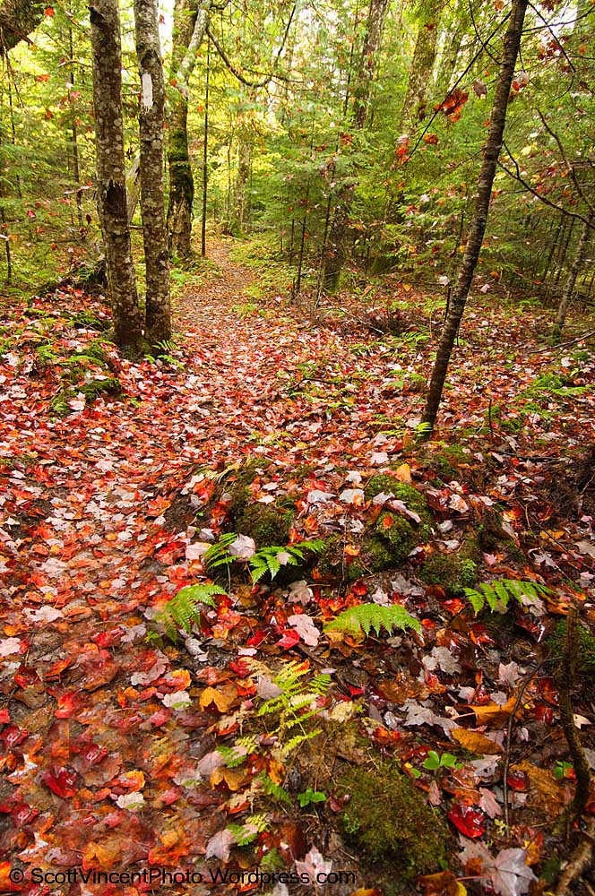

All are terrific. I love the blanket of fall colors on the Appalachian Trail!
Thanks so much Denise – I really appreciate your support!!! As info, each of these was made with a fisheye!! It’s hard to believe, but the mushrooms where only 6 inches from the lens!! And I had hard time keeping my feet out of the photo you like 🙂
Hi—
How many miles- or how long would it take you to hike the App… Trail within the park.
Or let me rephrase how far could a 20 yr old girl hike in 5 hours?
Hi Kara,
Thanks for your note. Hiking all of the AT within Baxter will take a long time. You’ll probably want to do what I did which is to hit parts of the trail which are near parking areas. Walk about half of your allotted time and loop back, or from maps scout out a trail(s) that will loop you back to the start so that you see more of the park.
The AT begins on top of Mt Katahdin, which itself is a several hour hike one way to the top and usually requires a stay at a base camp. Here are a couple of links – you can find plenty more with a Google search.
In general, anyone who is in reasonably good shape with good shoes (not sneakers) will be able to hike the AT in Baxter. The hardest is the hike up/down Katahdin, which I’m sure you can do, but will require some planning and more time.
Good luck!! Let me know how you do – Send photos!!
http://www.appalachiantrail.org/hiking/find-a-hike/hikes—me
http://www.baxterstateparkauthority.com/maps/hiking.php
http://www.downeast.com/magazine/2008/september/climb-mount-katahdin
Scott